Land Surveying ⛰️ what is it?
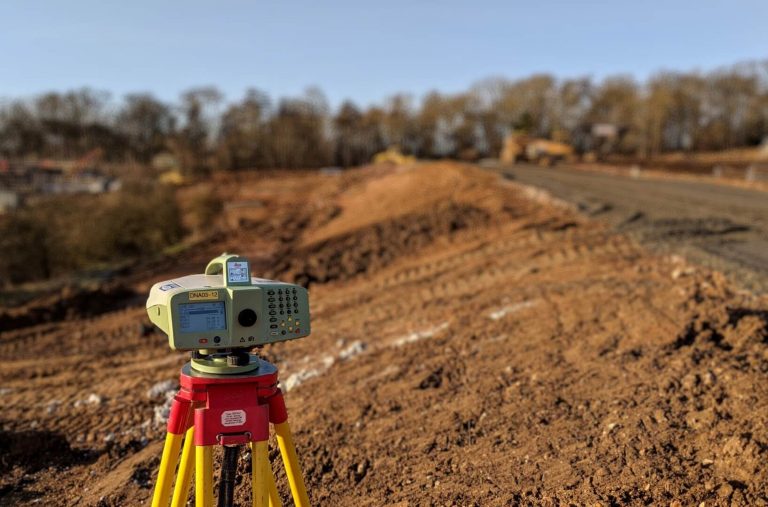
Land Surveying is the process of gathering, collecting, and processing geographical data for creating a informational report about the surveyed area.
Land Surveyors gather positional data to produce accurate representation of the shape of the land and anything on it.