Geomatics is the discipline concerned with the collection, distribution, storage, analysis, processing, presentation of geographic data or geographic information.
ISO/TC 211 (reference: ISO/TC211/WG1 N119)
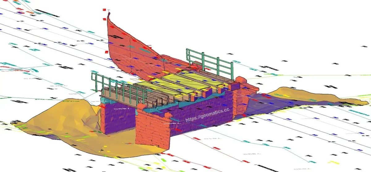
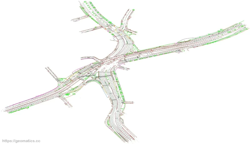
The discipline of Geomatics encompasses the fields of surveying, mapping, remote sensing (Laser Scanning), photogrammetry, hydrography, GNSS, GIS and many more.
What does a Geomatics Engineer do?
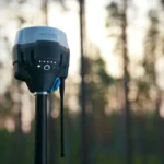
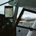
Geomatics Engineers, sometimes called Engineering Surveyors, gather, model, analyze, and manage information that is identified according to its location (spatially referenced data). They do this by making use of sensors on the ground, in the air, in the ocean and on satellites. Sensors in these categories include topographical instruments (e.g. total stations), GNSS (GPS) equipment, laser scanners, drones and even the very basic measuring tape.
Geomatics vs Surveying
You might wonder what the difference is between Geomatics and Surveying? Land Surveying (or Engineering Surveying) is in fact a sub-discipline of Geomatics. However, in practice, there is little to no difference between the disciplines and the terms get used interchangeably often.
Importance of Geomatics
Why is Geomatics important or what is the purpose of it? In short, whenever there is a requirement of location information Geomatics comes into play. Having precise locations defined on the surface of the Earth is critical in many fields and industries such as: cartography, land boundaries, disaster management, navigation, energy assessment, noise and pollution monitoring and many more. A Geomatics engineer will make use of sensors, knowledge and software to produce highly accurate positional information for any of these scenarios.
This is a large encompassing discipline that has been evolving continuously throughout the years. Applications are in continuous development and technology advancements only make it better every day.
In these pages you will find useful information and tools, regardless if you are in the profession or not.
Recent Posts
Below is a list of the most recent blog posts. Alternatively, you can see all posts in the Articles section of this website. You can also find a list of related terminology and definitions.
- GNSS Precise Orbits (Ephemerides)
 When it comes to Land Surveying, if you use any sort of GNSS (GPS) equipment, you will deal with GNSS orbits even if you don’t realise it. But when it comes to Static GNSS processing, these are critical in obtaining good results in your GNSS processing.Let’s see what are they and how to download GNSS precise orbits to augment your data processing.
 - What is GPS time and how to calculate it?GPS time is a time scale maintained by the atomic clocks of satellites and ground control stations of the Global Positioning System (GPS). It consists of a count of weeks and seconds of the week since 0 hours (midnight) Sunday, 6th of January 1980.
- How to convert between different coordinate systems in the UK?Introduction For those navigating the realms of cartography, surveying, or simply exploring the vast landscape of geographic information, understanding how to convert OSGB36 coordinates to latitude and longitude is a… Read more: How to convert between different coordinate systems in the UK?
- The 3G switch-off: How to be prepared as a surveyorAs the 3G switch-off looms, surveyors must be prepared for the upcoming changes. This article explores key considerations and practical tips to ensure a smooth transition, helping surveyors adapt and optimize their workflows in the evolving landscape of mobile connectivity.
- GNSS vs GPS – what is GNSS?GNSS (Global Navigation Satellite Systems) is a term used to describe satellite-based systems that provide positioning, navigation, and timing (PNT) data. GNSS is widely used in geomatics and land surveying to accurately determine the position and orientation of points on the Earth’s surface. Other uses outside of land surveying include transportation, navigation applications, agriculture and weather forecasting.
- Survey Field Books & Field NotesSurveying is all about observations. When you go on site, you often need to record not just topographical data, but also notes about your work. Good record keeping is a must have in land surveying, and this is best achieved by always taking essential field notes in your survey field book.


Get in touch
If you have any suggestions or concerns, feel free to get in touch via the contact form and I will get back to you as soon as possible. Alternatively, you can always leave a comment on any of the blog articles. These are highly valued and welcomed.