GNSS Precise Orbits (Ephemerides)
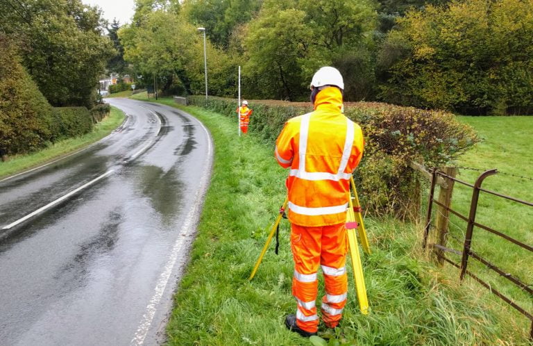
When it comes to Land Surveying, if you use any sort of GNSS (GPS) equipment, you will deal with GNSS orbits even if you don’t realise it. But when it comes to Static GNSS processing, these are critical in obtaining good results in your GNSS processing.
Let’s see what are they and how to download GNSS precise orbits to augment your data processing.