GNSS vs GPS – what is GNSS?

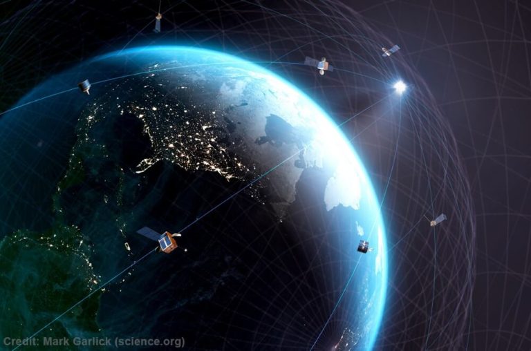
GNSS (Global Navigation Satellite Systems) is a term used to describe satellite-based systems that provide positioning, navigation, and timing (PNT) data.
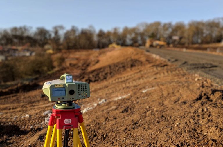
GNSS is widely used in geomatics and land surveying to accurately determine the position and orientation of points on the Earth's surface.
Other uses outside of land surveying include transportation, navigation applications, agriculture and weather forecasting.

